News
2025 Ishigaki Field Survey
In September 2025, ten members from Nakamura Lab went to Ishigaki Island for a field survey. What was originally planned as a standard data collection trip quickly turned into a much more unpredictable experience, with three typhoons passing through...
Read More
2025 Summer Field Survey in Shizugawa Bay
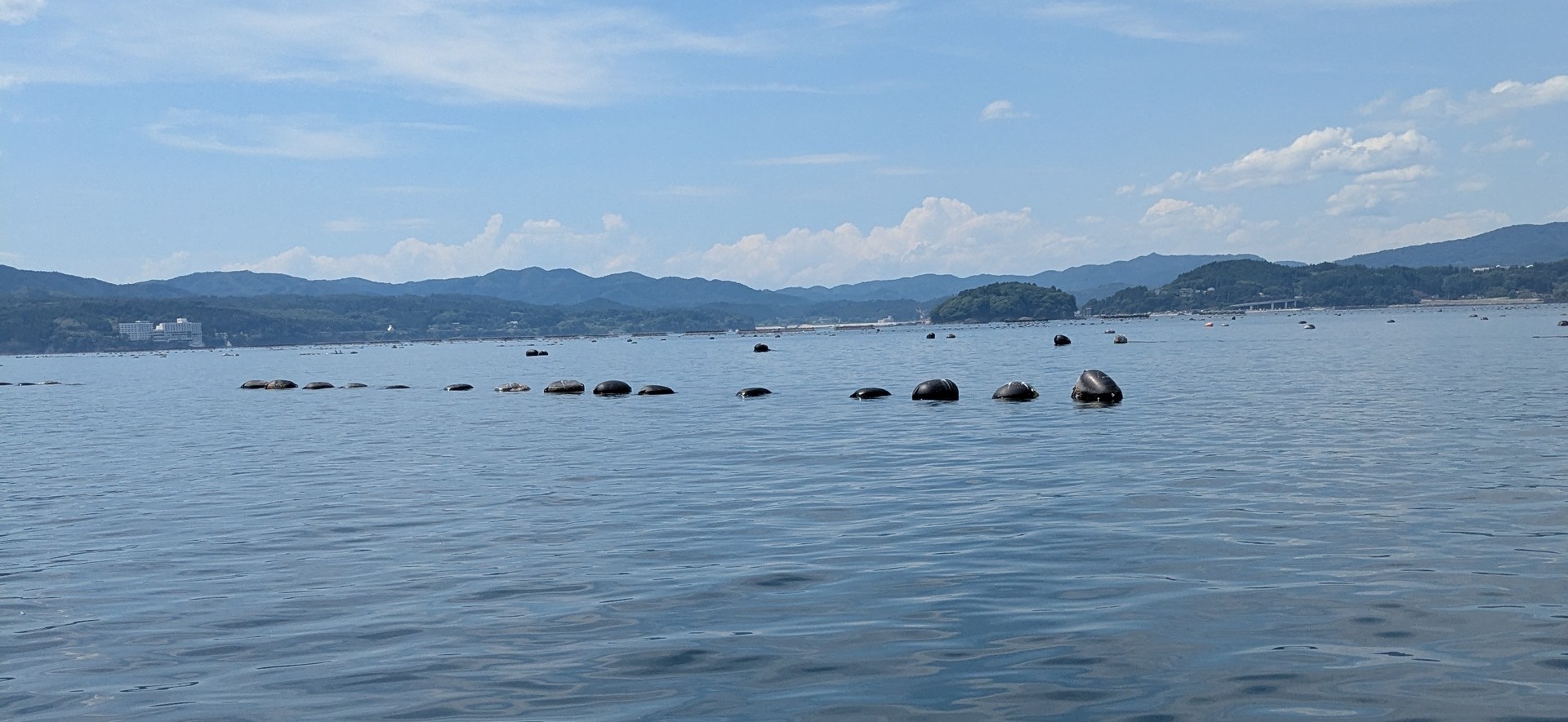
Good day! I am Raphael Villaluz, a B4 Student in the Nakamura Laboratory. With the rest of the Shizugawa Bay team (Sensei, Takahashi and Miyagi san), we conducted a field survey in Shizugawa Bay on July 2025.
Shizugawa Bay...
Read More
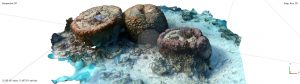
琉球大学の瀬底研究施設で実験を行ってきました。
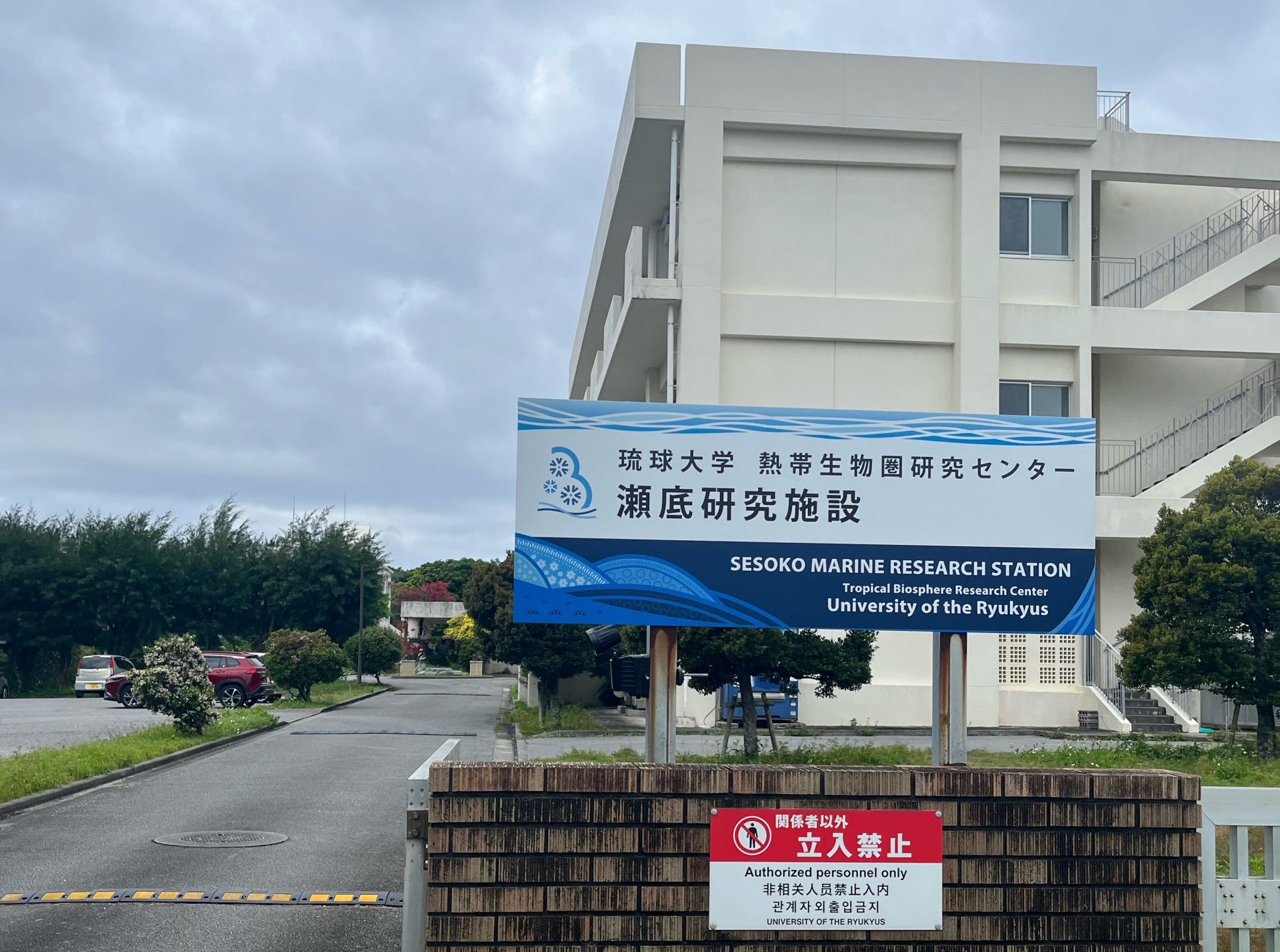
中村研では上杉(D3)、金子(M1)の2人が2025, 3/6~3/31にかけて沖縄県北部にある琉球大学の瀬底島臨海研究施設に行き、琉球大学栗原研究室、東京大学安田研究室の皆さんと合同でサンゴの飼育実験を行ってきました。
琉球大学 瀬底研究施設
こんにちは!中村隆志研究室M1の金子です!
さて、今回の私たちの実験テーマは、海洋生態系の心臓部とも言えるサンゴ礁、そしてそこに生きるサンゴが、水温や光量の変動にどのように応答するのかを明らかにすることです。皆さんもご存知の通り、サンゴ礁は多種多様な海洋生物の住処であり、食料源や沿岸域の保護といった重要な役割を担っています。しかし、地球温暖化などの影響により、サンゴは「白化現象」という深刻な状態に頻繁に陥っています。これは、サンゴの組織内に共生する褐虫藻という微細な藻類が、ストレスによってサンゴから抜け出てしまう現象で、褐虫藻が...
Read More