* As a part of the Project: Enhancing Climate Change Resilience of Socio-Ecological Systems in the Coral Triangle and Its Surrounding Areas (EnSES)
With the support of the project team we managed to visit 71 locations. This included the rivers flow measurements, AAQ profiles, and nutrients sampling.
On the early morning of September 24th, our team revisited Tinago Lake to cover locations missed in last year’s survey. This time, we employed the Nakamura-Lab AAQ system (calibrated with UOP AAQ), alongside an Echosounder and nutrient sampling methods to assess water quality and depth.
We timed our survey with low tide to capture critical water quality parameters, particularly dissolved oxygen (DO) levels, which were found to be low at certain points during last year’s survey. Our objective was to determine if these areas continue to exhibit low DO, especially in regions with more abandoned fishponds.
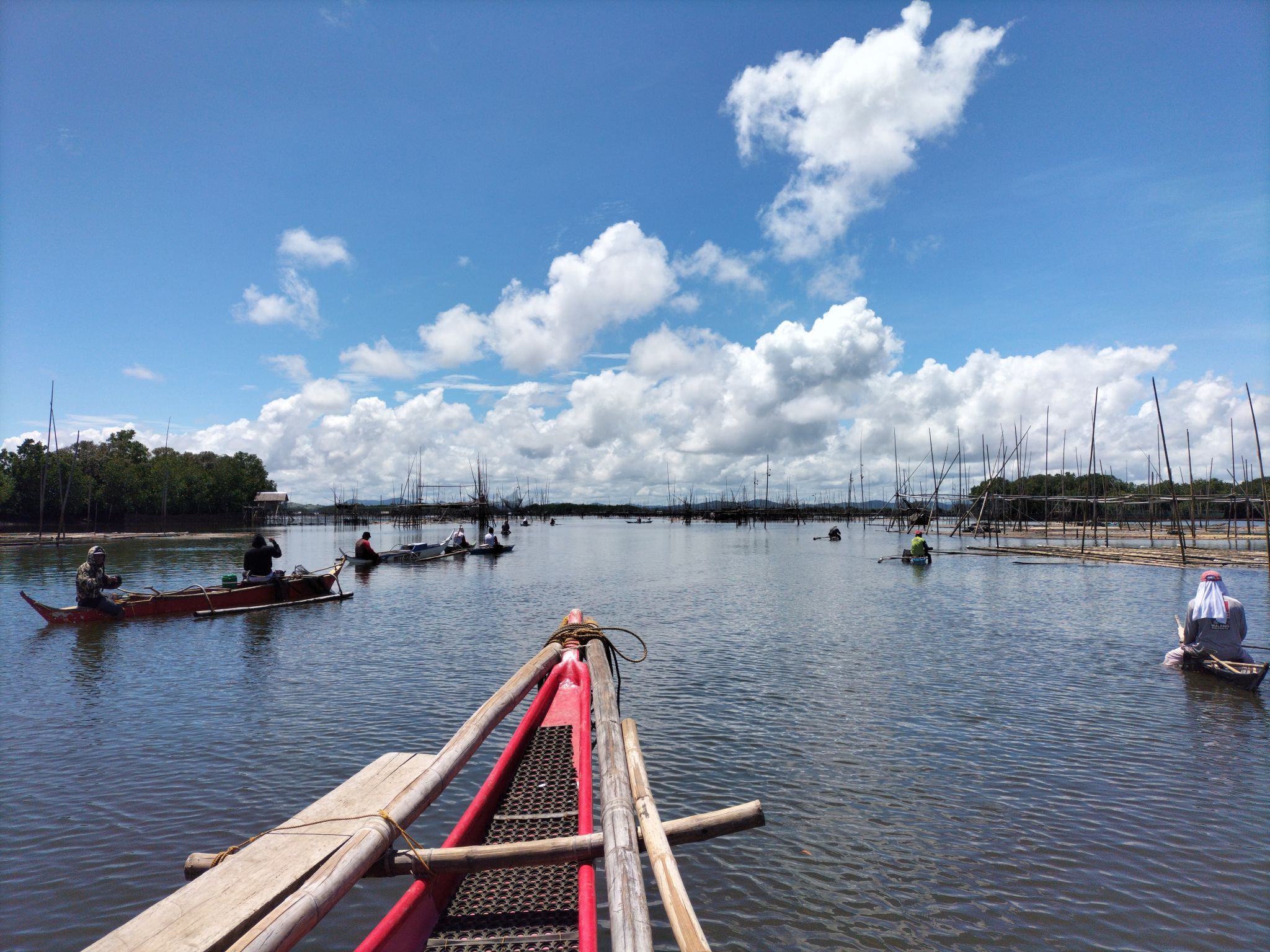
Over the day, we successfully sampled water and measured AAQs at 21 locations within Tinago Lake and its surroundings, including the Batan Bay inlet. We also mapped depths in selected segments, which is essential for refining our ongoing modeling of the bay.
On the morning of September 25th, we continued our survey, focusing on the western portion of Batan Bay, strategically timed with the low tide. This effort aimed to build on the previous day’s data, particularly on confirming AAQ measurements at locations where dissolved oxygen ( DO) levels were of concern.
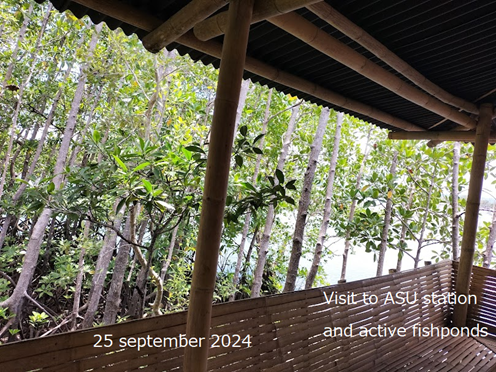
Additionally, we visited all active cells of the Aklan State University (ASU) fishpond, conducting thorough AAQ profiling and nutrient sampling both within these operational cells and in the surrounding areas outside the fishponds. In total, we sampled and profiled 19 locations across the western bay and fishpond areas, gathering critical data to support our understanding of water quality dynamics in these environments.
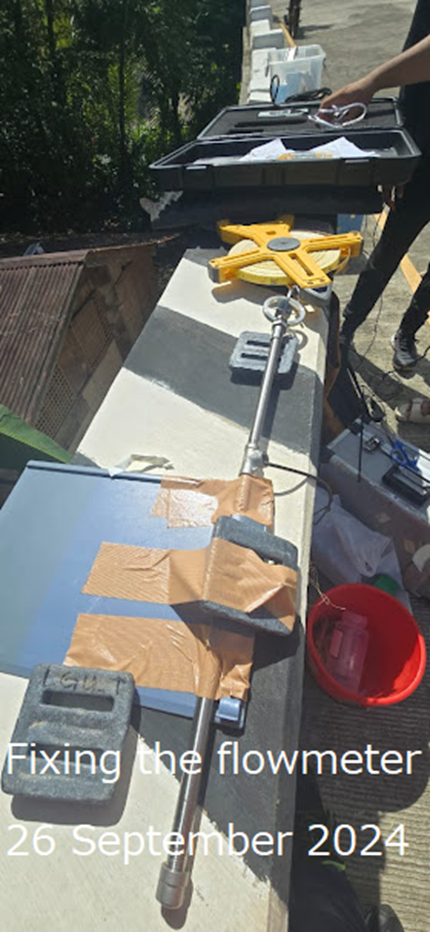
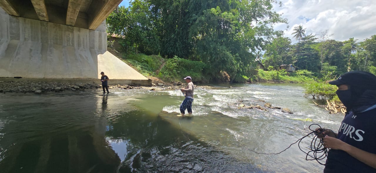
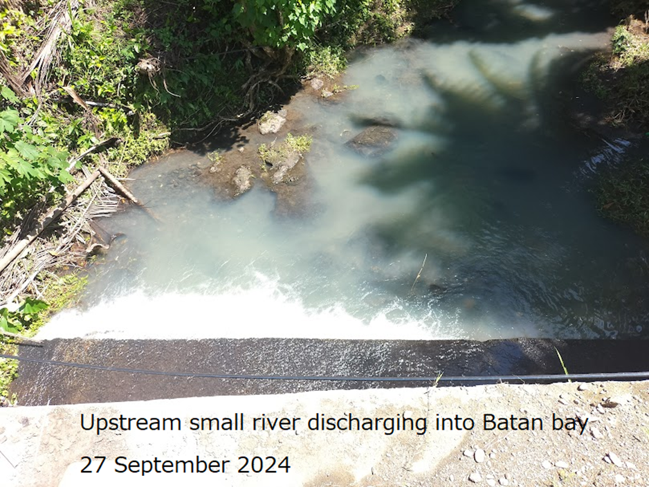
On September 26th, our team focused on surveying the rivers discharging into Batan Bay. We collected AAQ profiles and nutrient samples at various points, aiming to measure river discharge as well using a mechanical flowmeter.
While bridges provided suitable locations for AAQ and nutrient sampling, flow measurements proved challenging from these elevated positions. However, in several cases, we accessed the rivers from beneath the bridges, selecting appropriate cross-sections to safely measure flow.
An additional highlight of the day was the observation of intriguing stratification layers in the Camaligan River, which could offer valuable insights into the water quality and flow dynamics in the area.
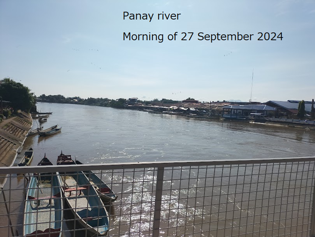
On September 27th, our team began early at 6 am to survey the Panay River, the largest river on Panay Island. Although it is not directly part of the Batan Bay model, data from this river are essential for validating a broader hydrological model. We collected four AAQ profiles and nutrient samples along the river and discovered that historical data are available, which I plan to request from local authorities for an updated dataset.
In the afternoon, I presented the progress of our research to the project team, receiving valuable feedback and suggestions. During the discussion, I proposed a paper on the impact of intensified precipitation on the weakening of Batan Bay’s natural cleansing mechanisms. We also explored hypotheses related to the recent increase in red tides and incidents of mass fish-killing.
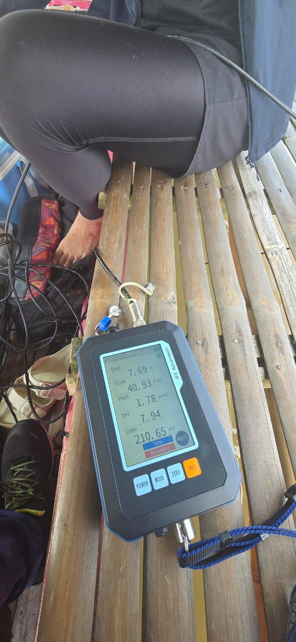
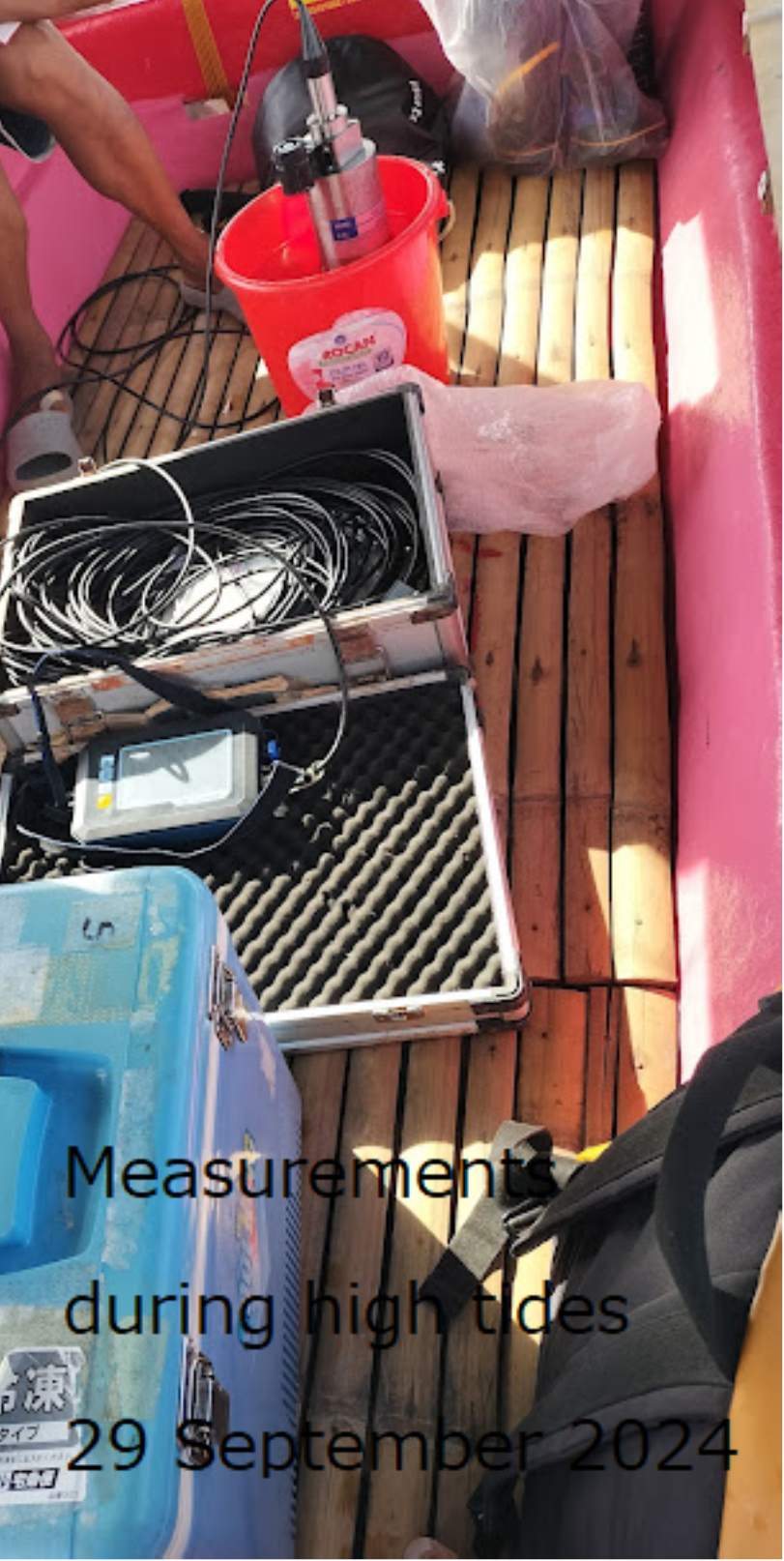
On September 28th and 29th, following the Eco team’s suggestion, we conducted measurements at an active fishpond using a different feeding regimen from the ASU pond. This survey aimed to compare water quality profiles during high tides, enhancing our understanding of spatial variability in dissolved oxygen (DO) and other parameters across the bay.
Significantly, our data revealed that while DO levels increased at certain locations during high tides, other areas still exhibit low DO, indicating potential water quality hotspots. These findings will be further analyzed to map these critical areas accurately. Over the two days, we completed measurements at a total of 71 locations, providing a comprehensive dataset for this high-tide survey.
On September 30th, while the team continued leveling work across the island, I set out at 6 am to join Mr. Ryan for a final survey of selected abandoned fishponds. These ponds will be central to my sedimentation modeling efforts. We conducted a brief bathymetric survey during high tide to ensure comprehensive coverage and performed a quick assessment of tree dimensions and inlet properties within the ponds.
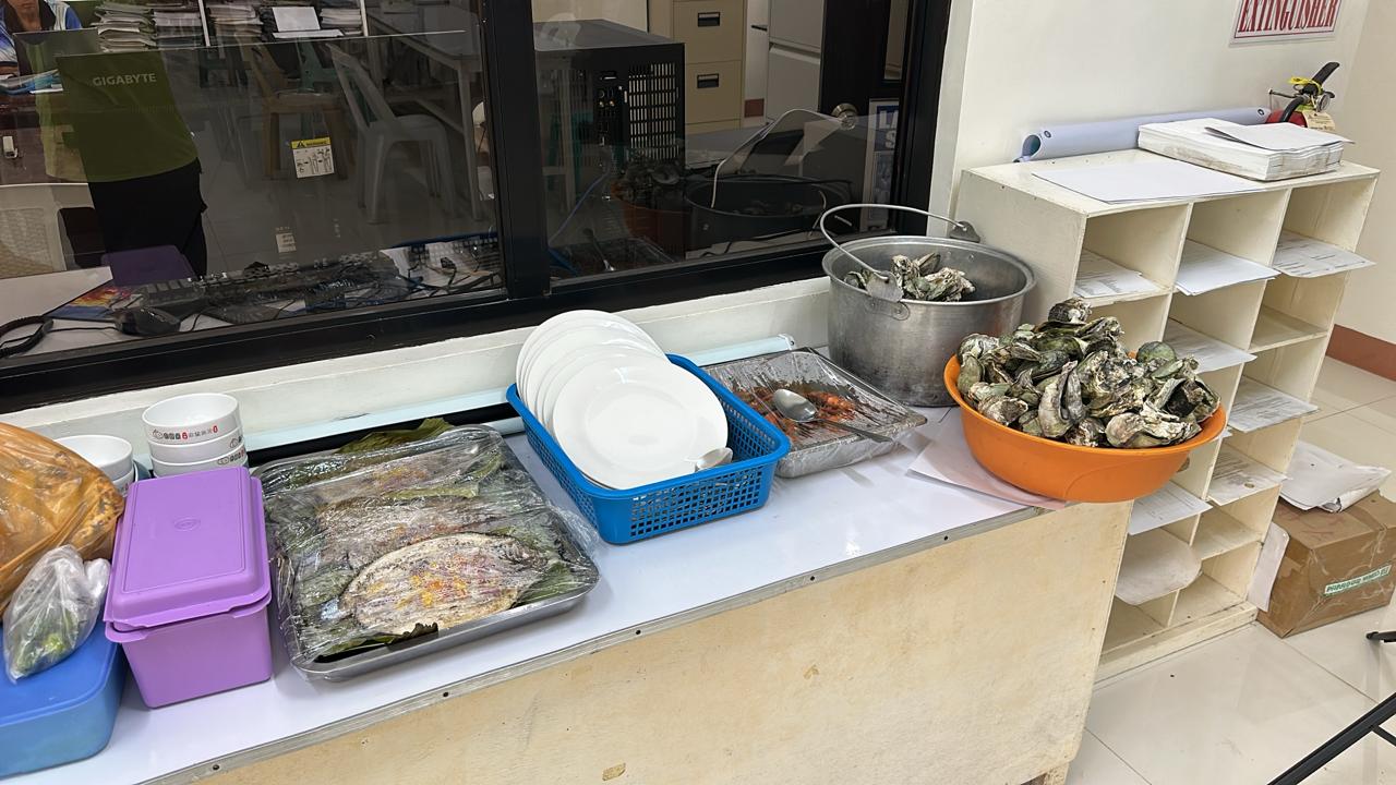
Not to forget the great hospitality of Aklan State University project members.